
I woke up on my second day in Stresa, a popular tourist town on Lago Maggiore, and decided I wanted to go for a walk. I had read about il Sentiero delle Castagne, “The Chestnut Path”, before arriving on the lake. It was supposedly a very easy hike suitable for tourists from Stresa to Belgirate, the next village over. Perfect, I thought. It had stormed quite violently the night before but the morning was sunny and bright with a clear blue sky overhead. According to what I had read, the walk would take 2.5 hours, so I’d arrive in Belgirate in time to take the ferry back to Stresa before lunch.
Before leaving the hotel, I connected to wifi and downloaded the instructions on the “Visit Stresa” website. They said the path was clearly marked and gave a set of seemingly simple instructions that would lead through the forest to Belgirate.
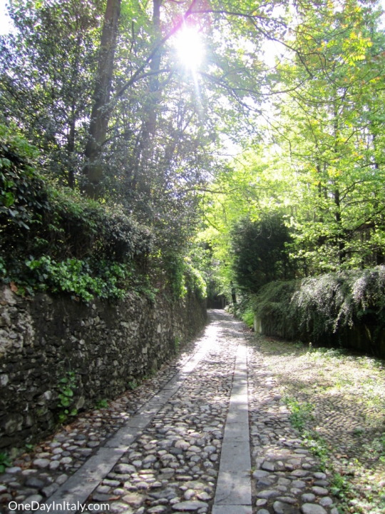
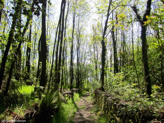
It started out just fine. I found the entrance to the trail and followed a cobblestoned road out of Stresa. More trees than buildings began to surround the path till all I could hear was the wind blowing through the trees and birds chirping, happy a new day had started and the storm from the previous night was over.
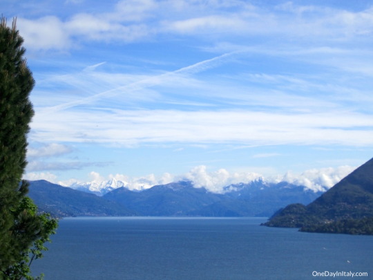
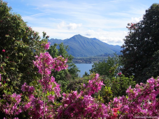
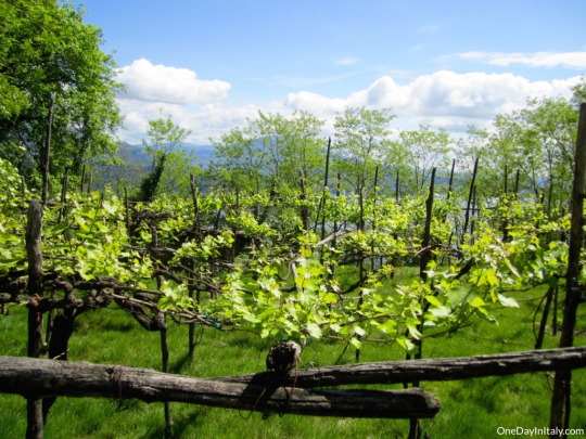
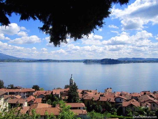
Much of the time the trail was surrounded by trees, but in the brief moments where the lake was visible to my left-hand side, the view was breathtaking.
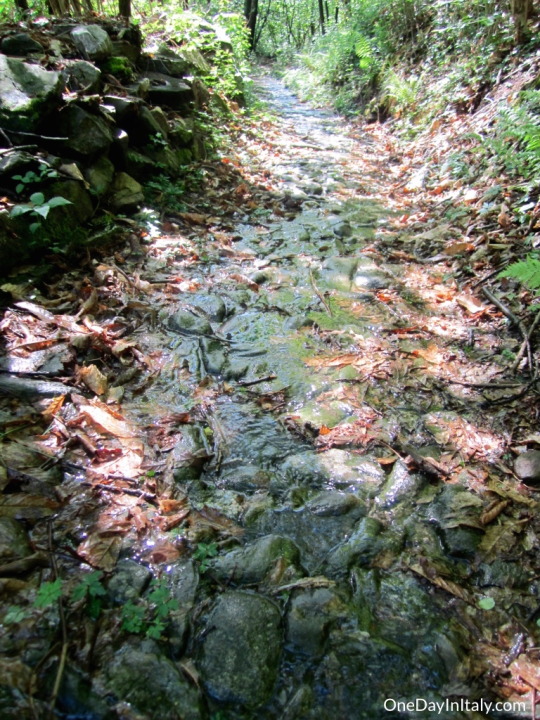
This new “Sentiero delle Castagne” became less and less defined. At one point I wondered if I was still on the trail or had instead veered off to walk along (or IN, rather) a shallow stream – about two inches of water flowed down what I’d otherwise have thought to be the trail.
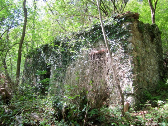
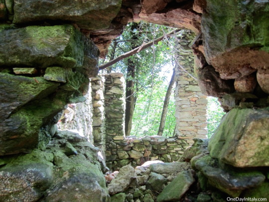
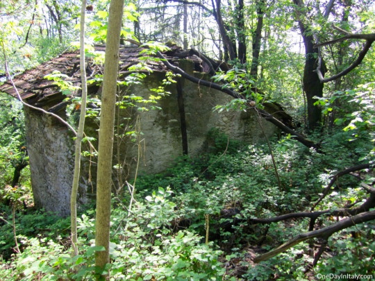
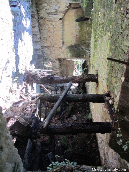
I started to come across abandoned stone buildings that looked like they had been left for quite a long time. Someone once told me that you can tell the age of a building by the size of its doorways. These were either super old or were so buried that they resembled hobbit houses. Who lived there? Or did they? Maybe they were just work sheds… When were they built? Who built them? Why? When did they abandon them? Why? Questions, questions, questions…
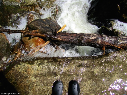
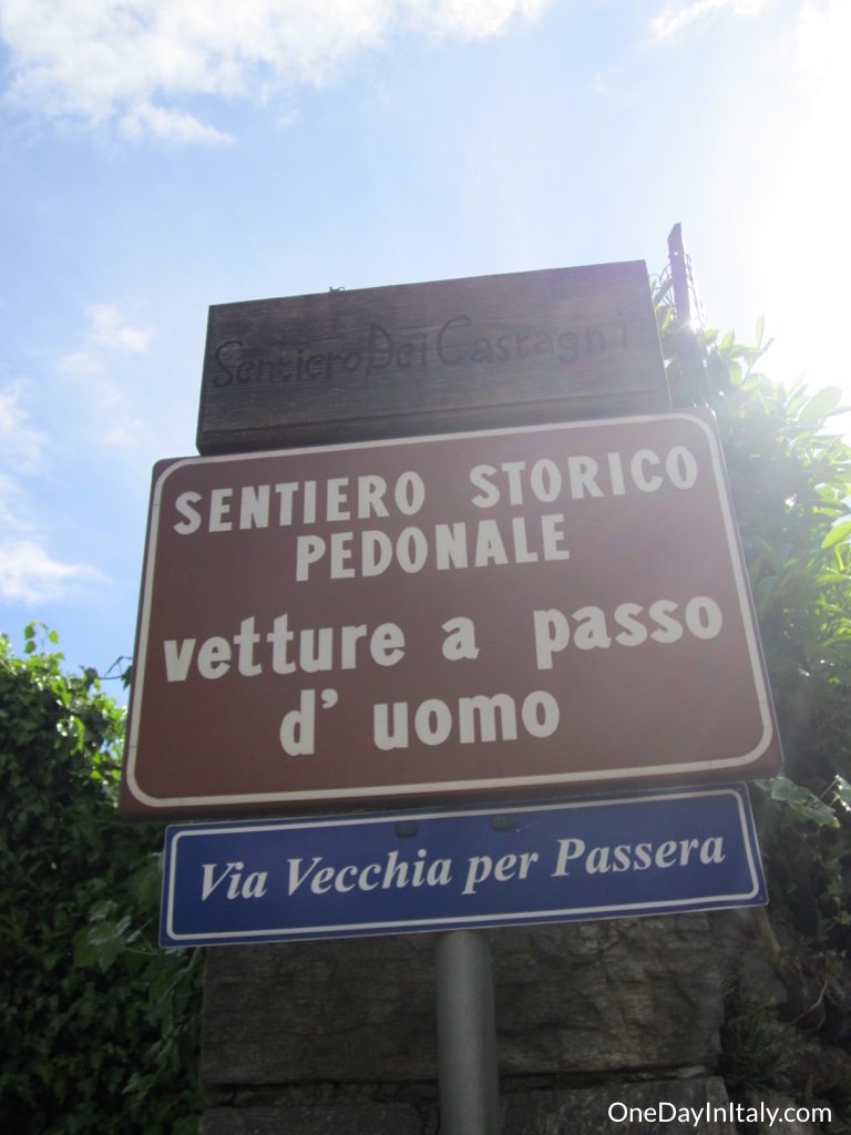
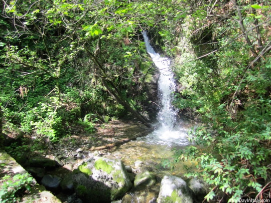
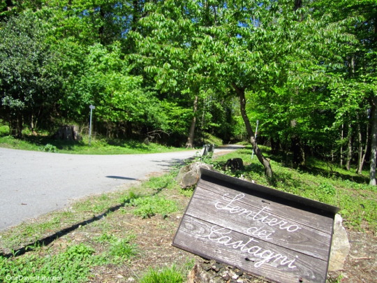
A while later, after fording a shallow stream and tentatively walking across stones on the edge of a waterfall, I came to another fork and saw another sign, this time only one, that read “Sentiero delle Castagne”. It pointed up. The trail I was on continued straight. I decided to go straight.
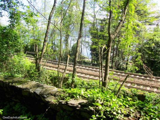
WRONG ANSWER. I walked down the hill for about 20 minutes and eventually wound up in a tunnel under the railroad tracks. At the end of the tunnel? High grass and a steep, steep slope. I trudged through the high grass for a while until I realized that it was just going to follow the train tracks till the next stop. Ok, turn around. Drag myself back up the hill to where I saw the last “Sentiero delle Castagne” sign, which pointed even further up the mountain and backwards.
Finally, after feeling like I had walked at least half the way back (albeit on a higher part of the mountain), I emerged into the sunlight and found a wide, paved path and another sign marking “Sentiero delle Castagne”. It seemed I had taken a long “U”-shaped off-shoot of the main trail.
I can’t say I really regretted it – at least, up until the part where I walked down toward the train tracks. I enjoyed the semi-”adventurous” trail more than I probably would’ve the easy one, but I hadn’t dressed for it and definitely wasn’t prepared for it. I was absolutely parched at this point, and there was nowhere to get water.
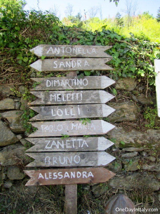
On my way down toward the village I found a water spicket (like the ones you see in Rome or Milan) and hurriedly filled up my water bottle. While gulping down the fresh, hydrating liquid I started reading a sign – or series of signs, rather – that were nailed to a post next to it. Each sign was an arrow pointing either right or left with a name written on it. At first I thought they were names of nearby towns, but then I realized they were people! Last names, first names, it didn’t seem to matter. If you knew the person you were looking for, you’d know which sign to follow…
Comments
comments


Leave a Reply